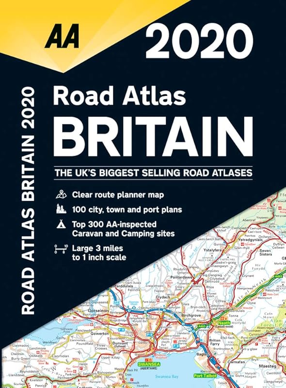
This road atlas showcases Britain's clearest mapping from the experts from the AA. Each page has been titled with it's geographical location so you can turn to the page you need more easily. Wide and narrow minor roads, National Trust, English & World Heritage sites, and hard-to-find places are shown. There are 112 city, town, port, and airport plans, full color county, unitary, and administrative area map and a comprehensive 31,500 entry index with airports, top tourist sites, and motorway services listed. Plus, scenic routes, golf courses, and caravan & camping sites symbolized on the mapping. Motorway maps, ferry planning information, and 5 district maps provide the essential motoring content for traveling the country. 3.2 miles to 1 inch 1:200,000 - 2km to 1cm.