2015 Road Atlas Europe: Europe's Clearest Mapping by AA Publishing

2015 Road Atlas Europe: Europe's Clearest Mapping

AA Publishing
Aa Publishing; Mul edition
Jan 2015
WSBN
0
Readers
0
Reviews
0
Discussions
0
Quotes
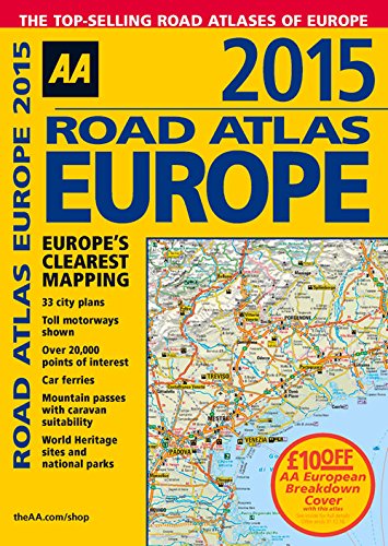
Fully revised and updated for 2015, this specialist A4 road atlas designed for the British motorist in Europe, with multi-scale mapping of 46 countries. The atlas includes information on national speed limits, toll-free motorways, car ferries, mountain passes with caravan suitability, emergency telephone numbers, and road distances, together with national parks and many other places of interest.,
Join the conversation

No discussions yet. Join BookLovers to start a discussion about this book!

No reviews yet. Join BookLovers to write the first review!

No quotes shared yet. Join BookLovers to share your favorite quotes!

Earn Points
Your voice matters. Every comment, review, and quote earns you reward points redeemable for Bitcoin.
Comment +5 pts Review +20 pts Quote +7 pts Upvote +1 pt
BookMatch Quiz
Find books similar to this one
About this book
Publisher Aa Publishing; Mul e...
Published 2015
Readers 0