Rand McNally
Rand McNally is not an individual author but a pioneering American publishing company founded in 1868 by William H. Rand and Andrew McNally, initially focusing on printing business directories, railroad guides, and later becoming renowned for maps and atlases using innovative wax engraving techniques.[1][2][3][4]
Cartography
Maps
Atlases
Travel Guides

Easy Finder Pontiac/Bloomfield Waterford (Rand McNally Easyfinder)

Fort Pierce/Port St. Lucie: City Map (Rand McNally)
Canton, Ohio: City Map (Rand McNally)
Geneva Lakes/Walworth County, Wisconsin: City Map (Rand McNally)
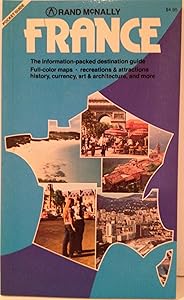
France (Rand McNally Pocket Guide)

Rand Mcnally Portland, Oregon

Rand McNally 2005 Road Atlas and Travel Guide: United States, Canada, & Mexico
Road Atlas of Britain 1993
1987 Road Atlas of Britain

Rand McNally Road Atlas, 1989

Springfield / Joplin, Missouri
World Reduced Map (M Series World Wall Maps)
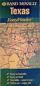
Rand McNally Texas Eastfinder Map (Easyfinder Map)
Savannah/Hilton Head: City Map (Rand McNally)

Rand McNally 2000 Motor Carriers Road Atlas (Rand Mcnally Motor Carriers' Road Atlas)
Boise/Nampa/Caldwell/Meridian: City Map (Rand McNally)
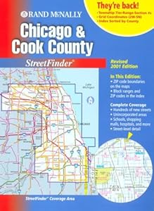
Rand McNally Chicago and Cook County Streetfinder 2001 (Rand Mcnally Streetfinders)
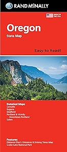
Rand McNally Easy To Read: Oregon State Map

The Thomas Guide 2008 Orange County, California: Street Guide
Lake Tahoe/Carson City, Nevada: City Map (Rand McNally)
Contra Costa: City Map (Rand McNally)
Victoria/PT Lavaca, Texas: City Map (Rand McNally)
Champaign/Urbana: City Map (Rand McNally)

Thomas Guide 2008 San Bernardino, California