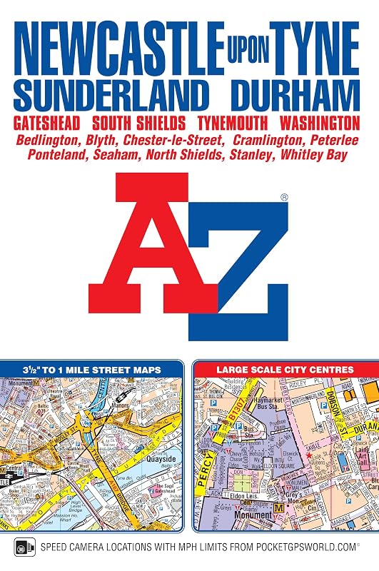
Newcastle upon Tyne A-Z Street Atlas (paperback) by Geographers' A-Z Map Co Ltd

Newcastle upon Tyne A-Z Street Atlas (paperback)

Geographers' A-Z Map Co Ltd
288 pages
Geographers' A-Z Map Co Ltd
Feb 2017
Paperback
All Non-Fiction WSBN
0
Readers
0
Reviews
0
Discussions
0
Quotes
This A-Z map of Newcastle upon Tyne includes coverage of Sunderland, Durham, Gateshead, South Shields, Tynemouth and Washington. There are 154 pages of continuous street mapping extending to:* Bedlington* Blaydon* Blyth* Chester-le-Street (part) * Darras Hall* Ryton* Seaham* Stanley* Whitley BayIn addition, there is separate coverage of Peterlee, Easington and Horden and large scale city centre maps of Newcastle upon Tyne, Sunderland and Durham.Postcode districts, one-way streets and safety camera locations with maximum speeds are featured on the street mapping.The index section lists streets; selected flats, walkways and places of interest; place and area names; National Rail and Tyne & Wear Metro Stations. There is a separate list of hospitals and hospices covered by this publication.A Tyne & Wear Metro and Rail Connections map is included on the back cover.
Join the conversation

No discussions yet. Join BookLovers to start a discussion about this book!

No reviews yet. Join BookLovers to write the first review!

No quotes shared yet. Join BookLovers to share your favorite quotes!

Earn Points
Your voice matters. Every comment, review, and quote earns you reward points redeemable for Bitcoin.
Comment +5 pts Review +20 pts Quote +7 pts Upvote +1 pt
BookMatch Quiz
Find books similar to this one
About this book
Pages 288
Publisher Geographers' A-Z Map...
Published 2017
Readers 0