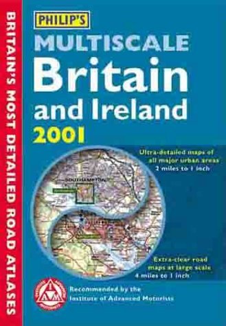
Where do you want to go in England, Scotland, Wales, and Ireland? No matter the city or town, with this guide you'll reach your destination with no trouble at all. It's Britain's most detailed road atlas, with ultra large-scale maps that cover all major urban areas; smaller road maps complete with a route-finding systems; and 60 town plans that point out one-way streets as well as places of interest. There's even help in planning your itinerary ahead of time, and a distance table. From Aberdeen to London, Londonderry to Liverpool, Cardiff to Canterbury, even the Isle of Wight, here's the way to get there and find your way around, full speed ahead.