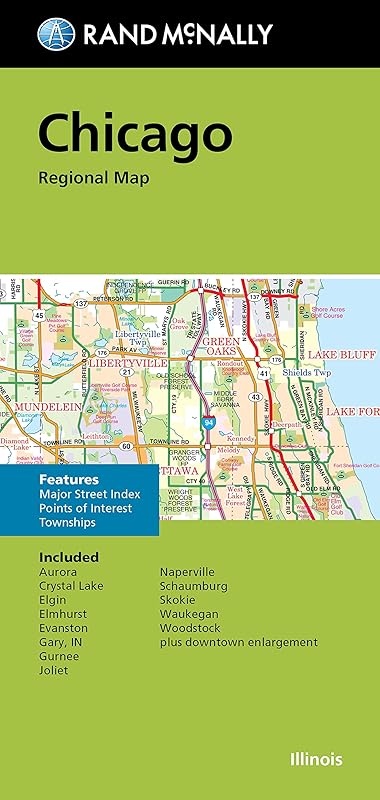
Rand McNally's folded map for Chicago is a must-have for anyone traveling in and around this part of Illinois, offering unbeatable accuracy and reliability at a great price. Our trusted cartography shows all Interstate, U.S., state, and county highways, along with clearly indicated parks, points of interest, airports, county boundaries, and streets. The easy-to-use legend and detailed index make for quick and easy location of destinations. You'll see why Rand McNally folded maps have been the trusted standard for years. - Regularly updated. - Full-color maps. - Clearly labeled Interstate, U.S., state, and county highways. - Indications of parks, points of interest, airports, county boundaries, downtown & vicinity maps. - Major attractions & Golf Courses. - Easy-to-use legend. - Detailed index & Major Street Index. - Convenient folded size. Coverage Area: Communities Included: Aurora, Crystal Lake, Elgin, Elmhurst, Evanston, Gary, IN, Gurnee, Joliet, Naperville, Schaumburg, Skokie, Waukegan, Woodstock plus downtown enlargement. Product Details: Measures 9.5 x 4 and folds out to 40 x 28.